The southern end of a cul de sac off Brimstree Drive
Introduction
The photograph on this page of The southern end of a cul de sac off Brimstree Drive by Richard Law as part of the Geograph project.
The Geograph project started in 2005 with the aim of publishing, organising and preserving representative images for every square kilometre of Great Britain, Ireland and the Isle of Man.

There are currently over 7.5m images from over 14,400 individuals and you can help contribute to the project by visiting https://www.geograph.org.uk
The southern end of a cul de sac off Brimstree Drive
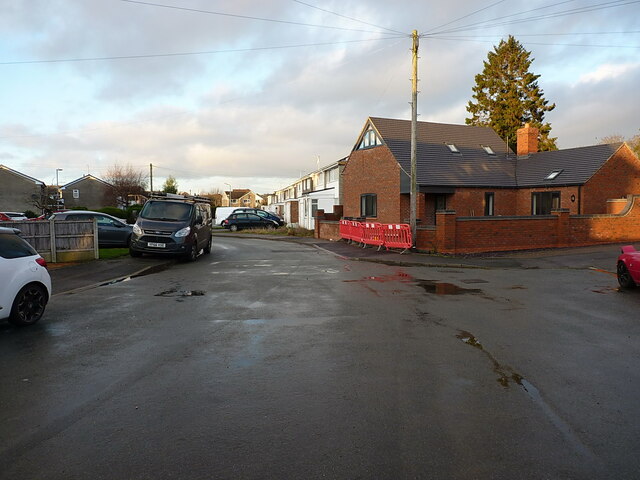
Image: © Richard Law Taken: 20 Dec 2020
Most of the estate houses here were built in the last 1960s or early '70s, although the red-brick place on the right here looks like a very recent addition. No brownie points for the van on the left, which is parked wholly blocking the pavement.... very inconsiderate.
Images are licensed for reuse under creativecommons.org/licenses/by-sa/2.0
Image Location
Latitude
52.659863
Longitude
-2.373118