Fields north of Nerston
Introduction
The photograph on this page of Fields north of Nerston by Alec MacKinnon as part of the Geograph project.
The Geograph project started in 2005 with the aim of publishing, organising and preserving representative images for every square kilometre of Great Britain, Ireland and the Isle of Man.

There are currently over 7.5m images from over 14,400 individuals and you can help contribute to the project by visiting https://www.geograph.org.uk
Fields north of Nerston
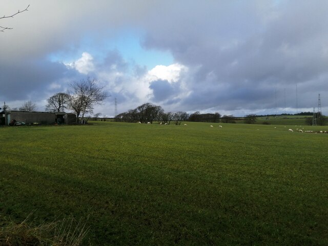
Image: © Alec MacKinnon Taken: 20 Dec 2020
The picture looks north from Crookedshields Road just downhill from the last of the houses of East Nerston. The radio transmitters on Dechmont Hill (Image) can be spotted on the horizon across the fields.
Images are licensed for reuse under creativecommons.org/licenses/by-sa/2.0
Image Location
Latitude
55.790029
Longitude
-4.158121