The Willows development, Torquay
Introduction
The photograph on this page of The Willows development, Torquay by Derek Harper as part of the Geograph project.
The Geograph project started in 2005 with the aim of publishing, organising and preserving representative images for every square kilometre of Great Britain, Ireland and the Isle of Man.

There are currently over 7.5m images from over 14,400 individuals and you can help contribute to the project by visiting https://www.geograph.org.uk
The Willows development, Torquay
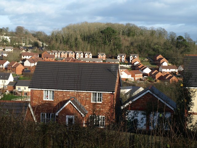
Image: © Derek Harper Taken: 25 Jan 2008
The wood on the far side is part Welsury Covert (right) and part Furzebreak Plantation (left). The road in front of the woodland is Merlin Way. In the foreground is a house on Sandpiper Way. The estate curves around a bowl-shaped valley with its head to the left.
Images are licensed for reuse under creativecommons.org/licenses/by-sa/2.0
Image Location


Leaflet Map data © OpenStreetMap
Latitude
50.490593
Longitude
-3.556289