Simmonds Way, Stoke Gifford
Introduction
The photograph on this page of Simmonds Way, Stoke Gifford by Derek Harper as part of the Geograph project.
The Geograph project started in 2005 with the aim of publishing, organising and preserving representative images for every square kilometre of Great Britain, Ireland and the Isle of Man.

There are currently over 7.5m images from over 14,400 individuals and you can help contribute to the project by visiting https://www.geograph.org.uk
Simmonds Way, Stoke Gifford
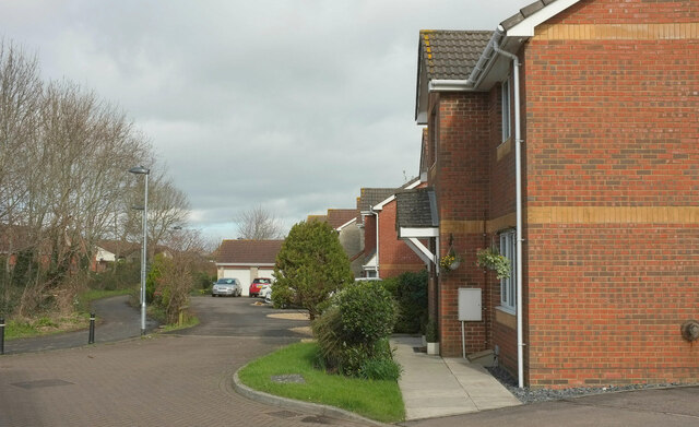
Image: © Derek Harper Taken: 3 Mar 2020
One of the several cul-de-sacs on Simmonds Way, with footpath LSG 7/20 on the left.
Images are licensed for reuse under creativecommons.org/licenses/by-sa/2.0
Image Location
Latitude
51.518318
Longitude
-2.53723