Lane near Thorntonhall
Introduction
The photograph on this page of Lane near Thorntonhall by Alec MacKinnon as part of the Geograph project.
The Geograph project started in 2005 with the aim of publishing, organising and preserving representative images for every square kilometre of Great Britain, Ireland and the Isle of Man.

There are currently over 7.5m images from over 14,400 individuals and you can help contribute to the project by visiting https://www.geograph.org.uk
Lane near Thorntonhall
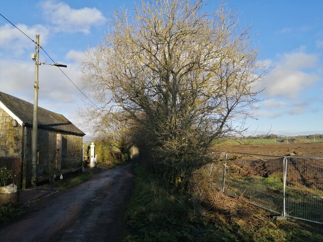
Image: © Alec MacKinnon Taken: 15 Dec 2020
The lane runs north from Braehad, on the edge of Thorntonhall, to the A727 where it comes to a dead end. Across the field at right new houses are being built, East Kilbride continuing its expansion into the surrounding farmland.
Images are licensed for reuse under creativecommons.org/licenses/by-sa/2.0
Image Location
Latitude
55.771479
Longitude
-4.235539