Old Boundary Marker on Treslea Downs
Introduction
The photograph on this page of Old Boundary Marker on Treslea Downs by P G Moore as part of the Geograph project.
The Geograph project started in 2005 with the aim of publishing, organising and preserving representative images for every square kilometre of Great Britain, Ireland and the Isle of Man.

There are currently over 7.5m images from over 14,400 individuals and you can help contribute to the project by visiting https://www.geograph.org.uk
Old Boundary Marker on Treslea Downs
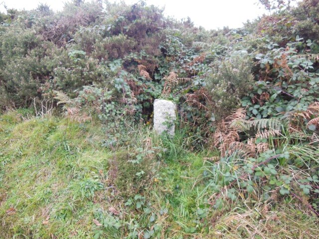
Image: © P G Moore Taken: Unknown
Estate Boundary Marker on the west side of the minor road from Treslea Cross to Bodmin adjacent to a cattle grid. Cardinham parish. Inscribed A for the Agar Robartes family of Lanhydrock. The marker denotes ownership of Common Land of Treslea Downs. Milestone Society National ID: CW_CARD05em
Images are licensed for reuse under creativecommons.org/licenses/by-sa/2.0
Image Location
Latitude
50.484226
Longitude
-4.630447