Corner of Brimstree Drive and Applebrook
Introduction
The photograph on this page of Corner of Brimstree Drive and Applebrook by Richard Law as part of the Geograph project.
The Geograph project started in 2005 with the aim of publishing, organising and preserving representative images for every square kilometre of Great Britain, Ireland and the Isle of Man.

There are currently over 7.5m images from over 14,400 individuals and you can help contribute to the project by visiting https://www.geograph.org.uk
Corner of Brimstree Drive and Applebrook
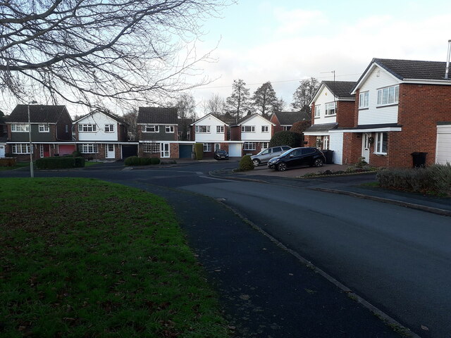
Image: © Richard Law Taken: 12 Dec 2020
The other end of Brimstree Drive near Park Lane was here when we moved to the area in the late 1960s, although it would have been quite recently built at that time. This end, with Applebrook was developed in the late 1970s, possibly early '80s.
Images are licensed for reuse under creativecommons.org/licenses/by-sa/2.0
Image Location
Latitude
52.661561
Longitude
-2.376089