Hancocks Lane and the Malvern Hills
Introduction
The photograph on this page of Hancocks Lane and the Malvern Hills by Fabian Musto as part of the Geograph project.
The Geograph project started in 2005 with the aim of publishing, organising and preserving representative images for every square kilometre of Great Britain, Ireland and the Isle of Man.

There are currently over 7.5m images from over 14,400 individuals and you can help contribute to the project by visiting https://www.geograph.org.uk
Hancocks Lane and the Malvern Hills
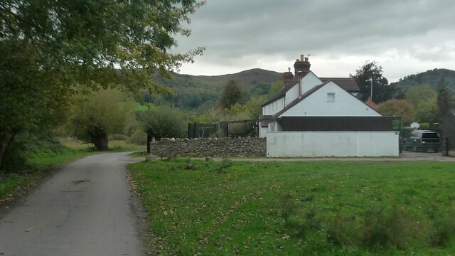
Image: © Fabian Musto Taken: 8 Oct 2020
The OS map says the building in view is Cider Mill Cottage. The view of the Malvern Hills in the background look memorable, and this was taken near Castlemorton Common.
Images are licensed for reuse under creativecommons.org/licenses/by-sa/2.0
Image Location
Latitude
52.052466
Longitude
-2.318305