Former St Peter's RC School
Introduction
The photograph on this page of Former St Peter's RC School by Thomas Nugent as part of the Geograph project.
The Geograph project started in 2005 with the aim of publishing, organising and preserving representative images for every square kilometre of Great Britain, Ireland and the Isle of Man.

There are currently over 7.5m images from over 14,400 individuals and you can help contribute to the project by visiting https://www.geograph.org.uk
Former St Peter's RC School
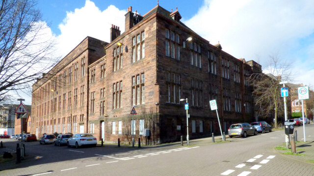
Image: © Thomas Nugent Taken: 19 Mar 2017
At the corner of Chancellor Street (on left) and Dowanhill Street. The school closed in 2013 when it merged with the nearby Notre Dame Primary School. The building was demolished in late 2017 to make way for a housing development.
Images are licensed for reuse under creativecommons.org/licenses/by-sa/2.0
Image Location
Latitude
55.872017
Longitude
-4.30062