Lower Struan Road housing development
Introduction
The photograph on this page of Lower Struan Road housing development by John Allan as part of the Geograph project.
The Geograph project started in 2005 with the aim of publishing, organising and preserving representative images for every square kilometre of Great Britain, Ireland and the Isle of Man.

There are currently over 7.5m images from over 14,400 individuals and you can help contribute to the project by visiting https://www.geograph.org.uk
Lower Struan Road housing development
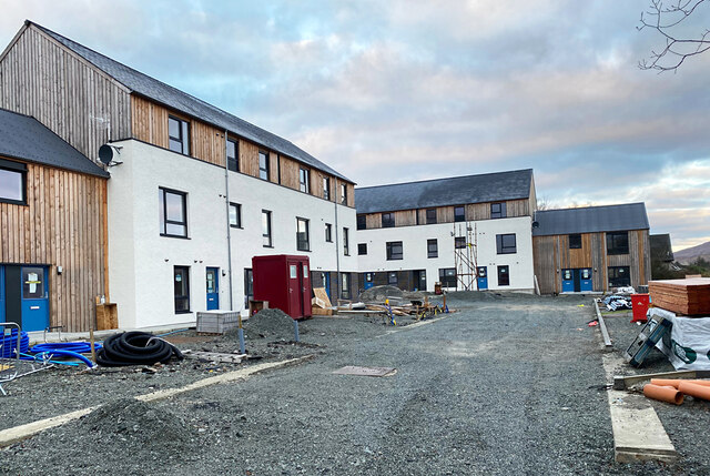
Image: © John Allan Taken: 6 Dec 2020
Sixteen homes for affordable rent nearing completion in a development by the Lochalsh and Skye Housing Association.
Images are licensed for reuse under creativecommons.org/licenses/by-sa/2.0
Image Location
Latitude
57.414824
Longitude
-6.209349