Canal near Baswich in Stafford
Introduction
The photograph on this page of Canal near Baswich in Stafford by Roger Kidd as part of the Geograph project.
The Geograph project started in 2005 with the aim of publishing, organising and preserving representative images for every square kilometre of Great Britain, Ireland and the Isle of Man.

There are currently over 7.5m images from over 14,400 individuals and you can help contribute to the project by visiting https://www.geograph.org.uk
Canal near Baswich in Stafford
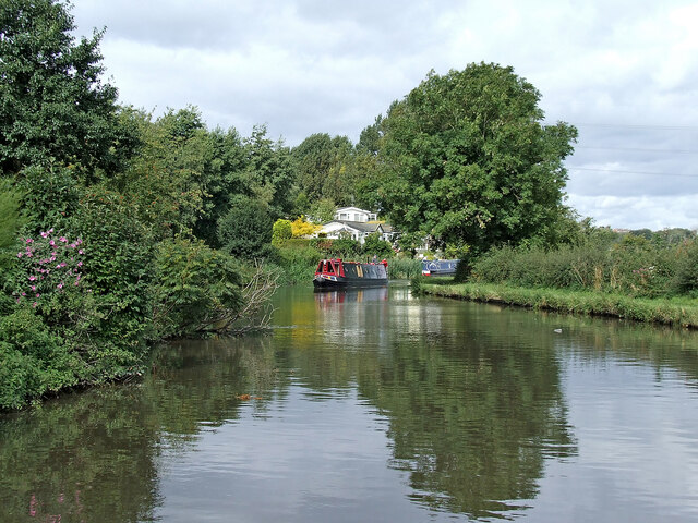
Image: © Roger Kidd Taken: 6 Sep 2009
Looking north-west as the Staffordshire and Worcestershire Canal meanders towards Stafford, Penkridge and Wolverhampton. The Lodgefield Park and Saltings mobile home sites are ahead on the left.
Images are licensed for reuse under creativecommons.org/licenses/by-sa/2.0
Image Location
Latitude
52.801023
Longitude
-2.077234