Pont ger Melin Gelligron / Bridge at Gelligron Mill
Introduction
The photograph on this page of Pont ger Melin Gelligron / Bridge at Gelligron Mill by Alan Richards as part of the Geograph project.
The Geograph project started in 2005 with the aim of publishing, organising and preserving representative images for every square kilometre of Great Britain, Ireland and the Isle of Man.

There are currently over 7.5m images from over 14,400 individuals and you can help contribute to the project by visiting https://www.geograph.org.uk
Pont ger Melin Gelligron / Bridge at Gelligron Mill
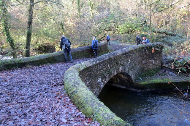
Image: © Alan Richards Taken: 6 Dec 2020
Pont yn rhychwantu Afon Clydach Uchaf. Safai Melin Gelligron ar y lan gyferbyn a hynny o bosibl sy'n gyfrif am fodolaeth y bont faen gadarn hon. A bridge spanning the Upper Clydach River. Gelligron Corn Mill stood on the opposite bank and this may account for the substantial stone structure.
Images are licensed for reuse under creativecommons.org/licenses/by-sa/2.0
Image Location
Latitude
51.730807
Longitude
-3.863674