Old Boundary Marker in Bontnewydd
Introduction
The photograph on this page of Old Boundary Marker in Bontnewydd by M P Roberts as part of the Geograph project.
The Geograph project started in 2005 with the aim of publishing, organising and preserving representative images for every square kilometre of Great Britain, Ireland and the Isle of Man.

There are currently over 7.5m images from over 14,400 individuals and you can help contribute to the project by visiting https://www.geograph.org.uk
Old Boundary Marker in Bontnewydd
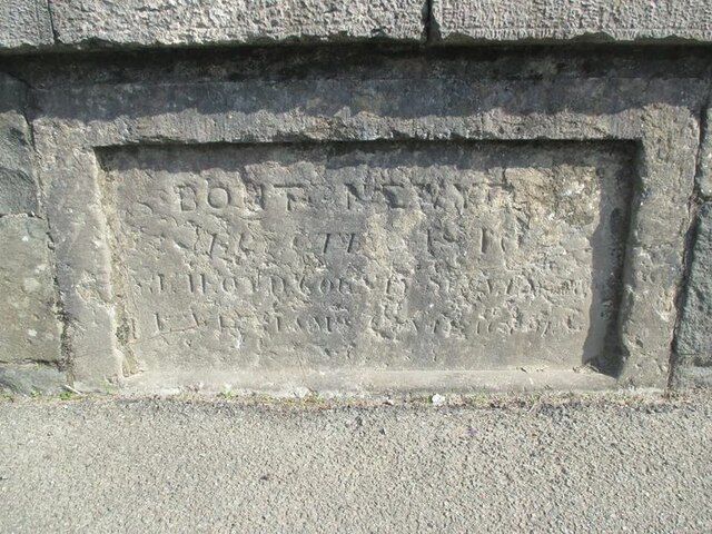
Image: © M P Roberts Taken: 13 Sep 2020
Bridge Marker set in the east parapet of Bont Newydd, Afon Gwyrfai, on the A487. Bontnewydd community. Inscribed BONT NEWYDD / ERECTED 1810 / etc. Milestone Society National ID: CAE_BONTNY01br
Images are licensed for reuse under creativecommons.org/licenses/by-sa/2.0
Image Location
Latitude
53.114373
Longitude
-4.26815