Okehampton Battle camp
Introduction
The photograph on this page of Okehampton Battle camp by Henry Cooke as part of the Geograph project.
The Geograph project started in 2005 with the aim of publishing, organising and preserving representative images for every square kilometre of Great Britain, Ireland and the Isle of Man.

There are currently over 7.5m images from over 14,400 individuals and you can help contribute to the project by visiting https://www.geograph.org.uk
Okehampton Battle camp
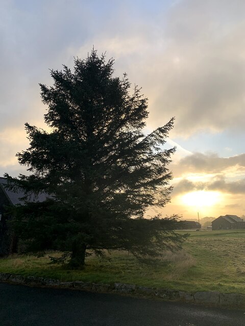
Image: © Henry Cooke Taken: 17 Aug 2019
Okehampton Battle camp around 06:45hrs
Images are licensed for reuse under creativecommons.org/licenses/by-sa/2.0
Image Location


Leaflet Map data © OpenStreetMap
Latitude
50.719393
Longitude
-4.003455