Bubwith Walk
Introduction
The photograph on this page of Bubwith Walk by Sharon Loxton as part of the Geograph project.
The Geograph project started in 2005 with the aim of publishing, organising and preserving representative images for every square kilometre of Great Britain, Ireland and the Isle of Man.

There are currently over 7.5m images from over 14,400 individuals and you can help contribute to the project by visiting https://www.geograph.org.uk
Bubwith Walk
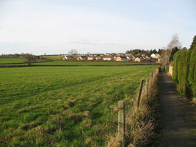
Image: © Sharon Loxton Taken: 26 Jan 2008
This walkway is at the back of the houses in Martin's Close. I lived in one of the houses throughout my school years, and used to play in the field on the left. The estate in the distance was not there at that time.
Images are licensed for reuse under creativecommons.org/licenses/by-sa/2.0
Image Location


Leaflet Map data © OpenStreetMap
Latitude
51.205556
Longitude
-2.665273