Ash Vale Ranges
Introduction
The photograph on this page of Ash Vale Ranges by Colin Smith as part of the Geograph project.
The Geograph project started in 2005 with the aim of publishing, organising and preserving representative images for every square kilometre of Great Britain, Ireland and the Isle of Man.

There are currently over 7.5m images from over 14,400 individuals and you can help contribute to the project by visiting https://www.geograph.org.uk
Ash Vale Ranges
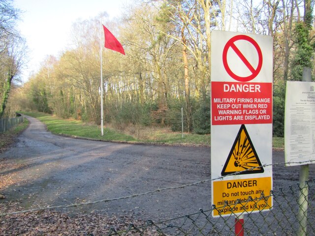
Image: © Colin Smith Taken: 1 Feb 2020
Red flag and danger signs at a military training area near Aldershot, the "Home of the British Army".
Images are licensed for reuse under creativecommons.org/licenses/by-sa/2.0
Image Location
Latitude
51.260758
Longitude
-0.717137