Bottom Plantation, Car Colston
Introduction
The photograph on this page of Bottom Plantation, Car Colston by Alan Murray-Rust as part of the Geograph project.
The Geograph project started in 2005 with the aim of publishing, organising and preserving representative images for every square kilometre of Great Britain, Ireland and the Isle of Man.

There are currently over 7.5m images from over 14,400 individuals and you can help contribute to the project by visiting https://www.geograph.org.uk
Bottom Plantation, Car Colston
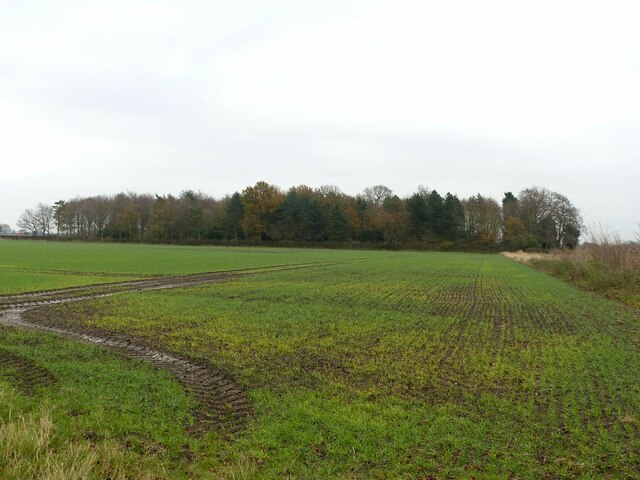
Image: © Alan Murray-Rust Taken: 2 Dec 2020
Close to the lower end of the original manorial estate.
Images are licensed for reuse under creativecommons.org/licenses/by-sa/2.0
Image Location
Latitude
52.964314
Longitude
-0.937675