Tunnel Hill, Worcester
Introduction
The photograph on this page of Tunnel Hill, Worcester by Chris Allen as part of the Geograph project.
The Geograph project started in 2005 with the aim of publishing, organising and preserving representative images for every square kilometre of Great Britain, Ireland and the Isle of Man.

There are currently over 7.5m images from over 14,400 individuals and you can help contribute to the project by visiting https://www.geograph.org.uk
Tunnel Hill, Worcester
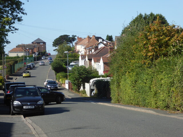
Image: © Chris Allen Taken: 18 Sep 2019
Looking towards the city centre. Worcester is by no means a flat city and you notice it especially on foot. This is near one of the highest spots in the city itself.
Images are licensed for reuse under creativecommons.org/licenses/by-sa/2.0
Image Location
Latitude
52.201969
Longitude
-2.200268