Henallt Wood
Introduction
The photograph on this page of Henallt Wood by Graham Horn as part of the Geograph project.
The Geograph project started in 2005 with the aim of publishing, organising and preserving representative images for every square kilometre of Great Britain, Ireland and the Isle of Man.

There are currently over 7.5m images from over 14,400 individuals and you can help contribute to the project by visiting https://www.geograph.org.uk
Henallt Wood
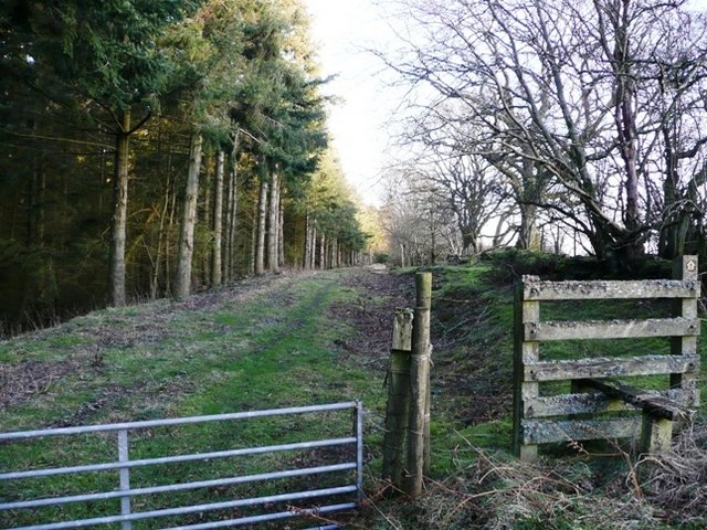
Image: © Graham Horn Taken: 24 Jan 2008
The woodland to the left covers the steep slopes all the way down to the river Wye at the far side of the square. This path leads to Allt-mawr-isaf in the centre of the square.
Images are licensed for reuse under creativecommons.org/licenses/by-sa/2.0
Image Location
Latitude
52.12153
Longitude
-3.370438