Carberry Road, Upper Norwood, southeast London
Introduction
The photograph on this page of Carberry Road, Upper Norwood, southeast London by Robin Stott as part of the Geograph project.
The Geograph project started in 2005 with the aim of publishing, organising and preserving representative images for every square kilometre of Great Britain, Ireland and the Isle of Man.

There are currently over 7.5m images from over 14,400 individuals and you can help contribute to the project by visiting https://www.geograph.org.uk
Carberry Road, Upper Norwood, southeast London
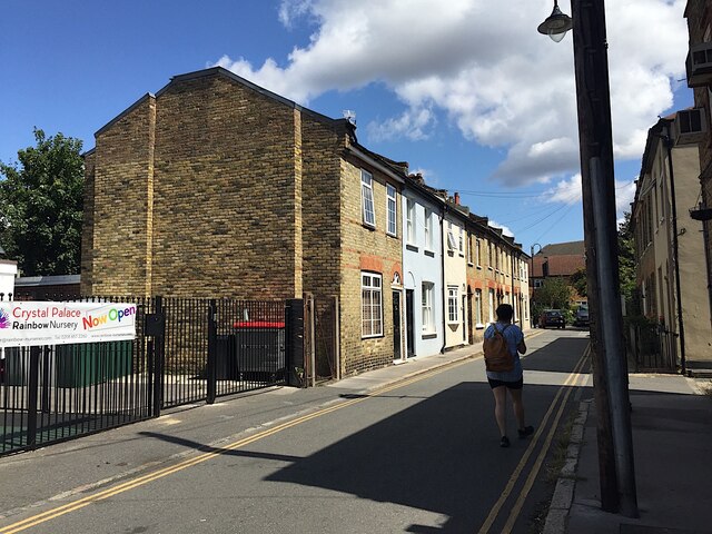
Image: © Robin Stott Taken: 2 Aug 2020
A glance at old-maps.org.uk shows that for decades after the later 19th century the Upper Norwood 'triangle' was a patchwork of lanes, short terraces of small houses, workshops and businesses. Carberry Road may retain something of that character, quite different from the scene in Image, which may date from the years either side of 1980.
Images are licensed for reuse under creativecommons.org/licenses/by-sa/2.0
Image Location
Latitude
51.418795
Longitude
-0.081642