Public footpath alongside Ronskwood Hill Meadows
Introduction
The photograph on this page of Public footpath alongside Ronskwood Hill Meadows by Chris Allen as part of the Geograph project.
The Geograph project started in 2005 with the aim of publishing, organising and preserving representative images for every square kilometre of Great Britain, Ireland and the Isle of Man.

There are currently over 7.5m images from over 14,400 individuals and you can help contribute to the project by visiting https://www.geograph.org.uk
Public footpath alongside Ronskwood Hill Meadows
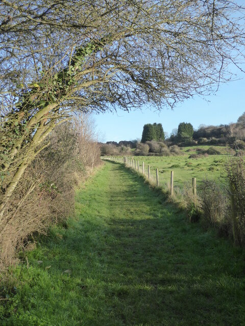
Image: © Chris Allen Taken: 1 Dec 2020
The Tolladine estate is out of sight to the left. The meadows to the right are a local nature reserve and used for cattle grazing.
Images are licensed for reuse under creativecommons.org/licenses/by-sa/2.0
Image Location
Latitude
52.197126
Longitude
-2.193223