Former tollhouse
Introduction
The photograph on this page of Former tollhouse by Alverie Weighill as part of the Geograph project.
The Geograph project started in 2005 with the aim of publishing, organising and preserving representative images for every square kilometre of Great Britain, Ireland and the Isle of Man.

There are currently over 7.5m images from over 14,400 individuals and you can help contribute to the project by visiting https://www.geograph.org.uk
Former tollhouse
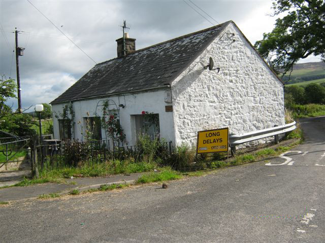
Image: © Alverie Weighill Taken: 29 Aug 2011
Surveyed by the Milestone Society. On the A711 from Dumfries to Dalbeattie at a minor road to Breconside and at the side of Glaisters Burn. On an 1852 map noted as PO. It was either erected by the Dalbeattie Trust or they utilised a cottage already there.
Images are licensed for reuse under creativecommons.org/licenses/by-sa/2.0
Image Location
Latitude
54.986712
Longitude
-3.754982