New canalside housing by Stourvale, Kidderminster
Introduction
The photograph on this page of New canalside housing by Stourvale, Kidderminster by Roger Kidd as part of the Geograph project.
The Geograph project started in 2005 with the aim of publishing, organising and preserving representative images for every square kilometre of Great Britain, Ireland and the Isle of Man.

There are currently over 7.5m images from over 14,400 individuals and you can help contribute to the project by visiting https://www.geograph.org.uk
New canalside housing by Stourvale, Kidderminster
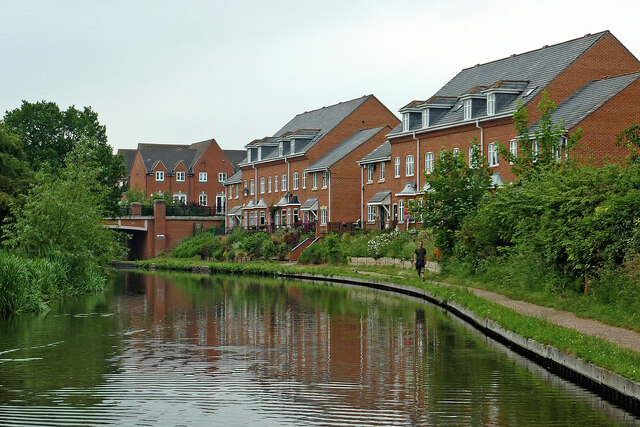
Image: © Roger Kidd Taken: 20 Jun 2013
This shows the Staffordshire and Worcestershire Canal, approaching Stourvale New Bridge No 18, which carries Stourvale Drive.
Images are licensed for reuse under creativecommons.org/licenses/by-sa/2.0
Image Location
Latitude
52.397234
Longitude
-2.249062