The Heid o' The Hill
Introduction
The photograph on this page of The Heid o' The Hill by Thomas Nugent as part of the Geograph project.
The Geograph project started in 2005 with the aim of publishing, organising and preserving representative images for every square kilometre of Great Britain, Ireland and the Isle of Man.

There are currently over 7.5m images from over 14,400 individuals and you can help contribute to the project by visiting https://www.geograph.org.uk
The Heid o' The Hill
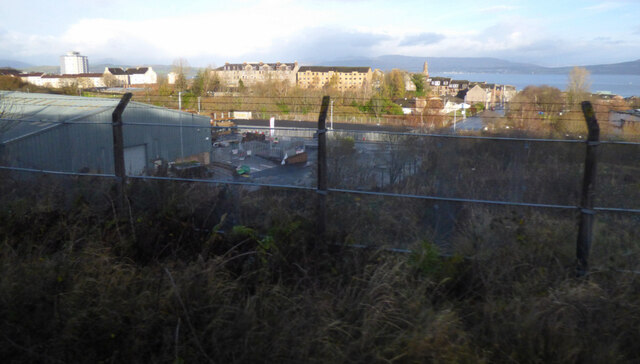
Image: © Thomas Nugent Taken: 22 Nov 2020
The area with tenements on the near horizon is known locally as the Heid o' The Hill. Viewed from a train which is passing the site of the former Upper Greenock railway station at Lynedoch Street.
Images are licensed for reuse under creativecommons.org/licenses/by-sa/2.0
Image Location
Latitude
55.94115
Longitude
-4.759063