Gloucester Docks - Vinings Warehouse
Introduction
The photograph on this page of Gloucester Docks - Vinings Warehouse by Colin Smith as part of the Geograph project.
The Geograph project started in 2005 with the aim of publishing, organising and preserving representative images for every square kilometre of Great Britain, Ireland and the Isle of Man.

There are currently over 7.5m images from over 14,400 individuals and you can help contribute to the project by visiting https://www.geograph.org.uk
Gloucester Docks - Vinings Warehouse
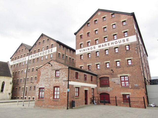
Image: © Colin Smith Taken: 31 Jul 2019
Britain's most inland port. There are former warehouses, working dry dock, Mariners Chapel and other dock-related buildings that have been found new uses e.g. apartments, museums and restaurants. www.visitgloucester.co.uk
Images are licensed for reuse under creativecommons.org/licenses/by-sa/2.0
Image Location
Latitude
51.862741
Longitude
-2.252196