Lowfield Lane
Introduction
The photograph on this page of Lowfield Lane by Jonathan Thacker as part of the Geograph project.
The Geograph project started in 2005 with the aim of publishing, organising and preserving representative images for every square kilometre of Great Britain, Ireland and the Isle of Man.

There are currently over 7.5m images from over 14,400 individuals and you can help contribute to the project by visiting https://www.geograph.org.uk
Lowfield Lane
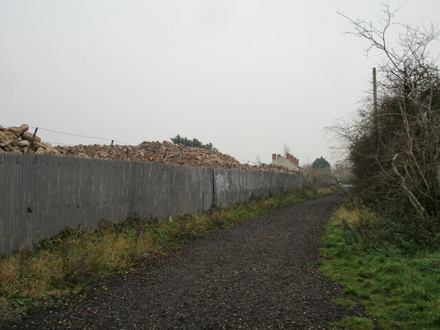
Image: © Jonathan Thacker Taken: 28 Nov 2020
At this point a footpath. On the left are piles of rubble from the demolished Worthington-Simpson (latterly Flowserve) works. Lowfield cottages ahead,
Images are licensed for reuse under creativecommons.org/licenses/by-sa/2.0
Image Location
Latitude
53.049909
Longitude
-0.797427