Old Boundary Marker on Appley Bridge, near Appley Bridge
Introduction
The photograph on this page of Old Boundary Marker on Appley Bridge, near Appley Bridge by W MacDonald as part of the Geograph project.
The Geograph project started in 2005 with the aim of publishing, organising and preserving representative images for every square kilometre of Great Britain, Ireland and the Isle of Man.

There are currently over 7.5m images from over 14,400 individuals and you can help contribute to the project by visiting https://www.geograph.org.uk
Old Boundary Marker on Appley Bridge, near Appley Bridge
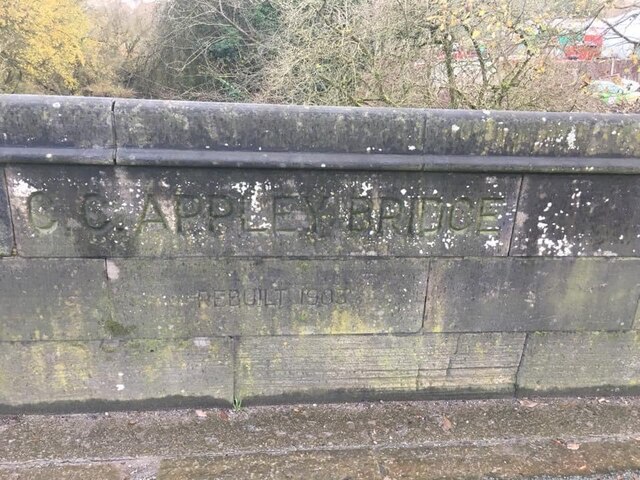
Image: © W MacDonald Taken: 24 Nov 2020
Bridge Marker set in the eastern parapet of Appley Bridge, River Douglas, on Appley Lane. Wrightington parish. Inscribed C C APPLEY BRIDGE / REBUILT 1903. Milestone Society National ID: LA_WRIGHT01br
Images are licensed for reuse under creativecommons.org/licenses/by-sa/2.0
Image Location
Latitude
53.577126
Longitude
-2.721718