Weirs on the Ogwr river
Introduction
The photograph on this page of Weirs on the Ogwr river by Alan Hughes as part of the Geograph project.
The Geograph project started in 2005 with the aim of publishing, organising and preserving representative images for every square kilometre of Great Britain, Ireland and the Isle of Man.

There are currently over 7.5m images from over 14,400 individuals and you can help contribute to the project by visiting https://www.geograph.org.uk
Weirs on the Ogwr river
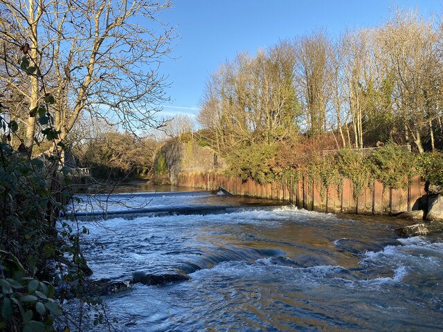
Image: © Alan Hughes Taken: 27 Nov 2020
Piles have been driven into the river bank opposite to prevent erosion. Beyond are the remains of a railway bridge which was once part of a network of valleys lines including the Garw valley and Ogmore valley lines.
Images are licensed for reuse under creativecommons.org/licenses/by-sa/2.0
Image Location
Latitude
51.54781
Longitude
-3.582296