Low Pasture
Introduction
The photograph on this page of Low Pasture by Stephen Craven as part of the Geograph project.
The Geograph project started in 2005 with the aim of publishing, organising and preserving representative images for every square kilometre of Great Britain, Ireland and the Isle of Man.

There are currently over 7.5m images from over 14,400 individuals and you can help contribute to the project by visiting https://www.geograph.org.uk
Low Pasture
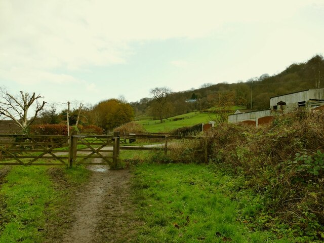
Image: © Stephen Craven Taken: 22 Nov 2020
The name is that of the farm to the right. The access road crosses the old railway line between Otley and Ilkley. The property doesn't appear on the 1956 map, and the railway closed in 1965, so there was presumably no level crossing here when it was open.
Images are licensed for reuse under creativecommons.org/licenses/by-sa/2.0
Image Location
Latitude
53.896791
Longitude
-1.717982