A view towards Mudgley
Introduction
The photograph on this page of A view towards Mudgley by Sharon Loxton as part of the Geograph project.
The Geograph project started in 2005 with the aim of publishing, organising and preserving representative images for every square kilometre of Great Britain, Ireland and the Isle of Man.

There are currently over 7.5m images from over 14,400 individuals and you can help contribute to the project by visiting https://www.geograph.org.uk
A view towards Mudgley
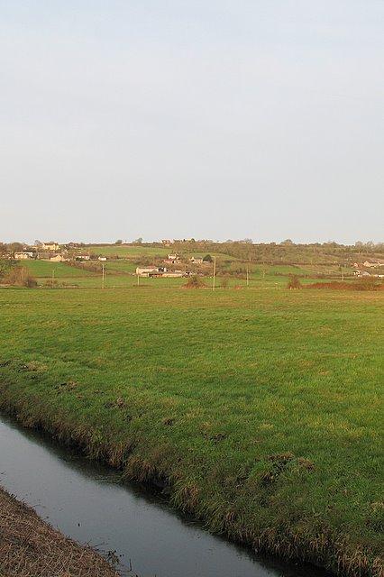
Image: © Sharon Loxton Taken: 26 Jan 2008
Taken from Blakeway on Westhay Moor this photograph shows the small settlement of Mudgley on the ridge overlooking the moors - and safe from the perils of flooding.
Images are licensed for reuse under creativecommons.org/licenses/by-sa/2.0
Image Location
Latitude
51.207453
Longitude
-2.793562