Shire Hall, Dorchester
Introduction
The photograph on this page of Shire Hall, Dorchester by Sandy Gerrard as part of the Geograph project.
The Geograph project started in 2005 with the aim of publishing, organising and preserving representative images for every square kilometre of Great Britain, Ireland and the Isle of Man.

There are currently over 7.5m images from over 14,400 individuals and you can help contribute to the project by visiting https://www.geograph.org.uk
Shire Hall, Dorchester
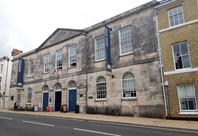
Image: © Sandy Gerrard Taken: 2 Sep 2020
View from south east. https://historicengland.org.uk/listing/the-list/list-entry/1119069
Images are licensed for reuse under creativecommons.org/licenses/by-sa/2.0
Image Location
Latitude
50.715426
Longitude
-2.439028