Houses on Fore Street, Barton
Introduction
The photograph on this page of Houses on Fore Street, Barton by Derek Harper as part of the Geograph project.
The Geograph project started in 2005 with the aim of publishing, organising and preserving representative images for every square kilometre of Great Britain, Ireland and the Isle of Man.

There are currently over 7.5m images from over 14,400 individuals and you can help contribute to the project by visiting https://www.geograph.org.uk
Houses on Fore Street, Barton
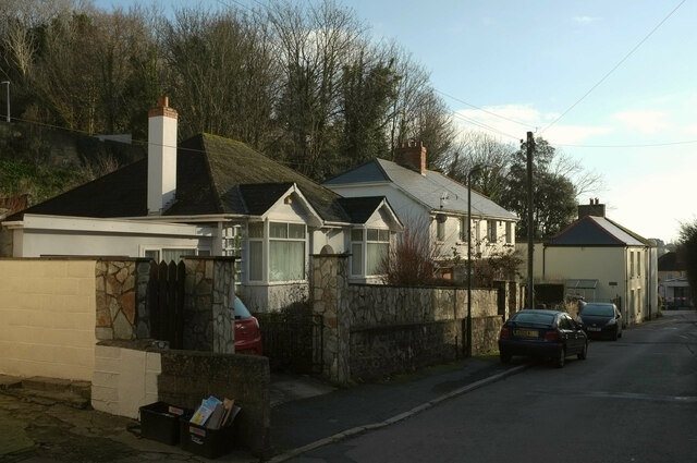
Image: © Derek Harper Taken: 10 Jan 2020
At the very northern edge of the square. On the left is the wooded Mincent Hill.
Images are licensed for reuse under creativecommons.org/licenses/by-sa/2.0
Image Location


Leaflet Map data © OpenStreetMap
Latitude
50.492496
Longitude
-3.534922