Marsh side path leading north from Little Neston
Introduction
The photograph on this page of Marsh side path leading north from Little Neston by Colin Park as part of the Geograph project.
The Geograph project started in 2005 with the aim of publishing, organising and preserving representative images for every square kilometre of Great Britain, Ireland and the Isle of Man.

There are currently over 7.5m images from over 14,400 individuals and you can help contribute to the project by visiting https://www.geograph.org.uk
Marsh side path leading north from Little Neston
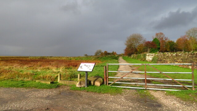
Image: © Colin Park Taken: 4 Nov 2020
Eventhough the path looks good here, the shore path to Parkgate is extremely muddy and almost impassable after wet weather beyond Old Quay.
Images are licensed for reuse under creativecommons.org/licenses/by-sa/2.0
Image Location
Latitude
53.278441
Longitude
-3.067767