Field beside the path to Medomsley Edge
Introduction
The photograph on this page of Field beside the path to Medomsley Edge by Robert Graham as part of the Geograph project.
The Geograph project started in 2005 with the aim of publishing, organising and preserving representative images for every square kilometre of Great Britain, Ireland and the Isle of Man.

There are currently over 7.5m images from over 14,400 individuals and you can help contribute to the project by visiting https://www.geograph.org.uk
Field beside the path to Medomsley Edge
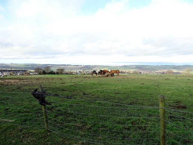
Image: © Robert Graham Taken: 18 Nov 2020
View looking to the west from the path from Corbridge Road. In the distance is a view of the north side of the Derwent Valley centred on Wittonstall.
Images are licensed for reuse under creativecommons.org/licenses/by-sa/2.0
Image Location
Latitude
54.879457
Longitude
-1.821359