Wideopen : A1
Introduction
The photograph on this page of Wideopen : A1 by Lewis Clarke as part of the Geograph project.
The Geograph project started in 2005 with the aim of publishing, organising and preserving representative images for every square kilometre of Great Britain, Ireland and the Isle of Man.

There are currently over 7.5m images from over 14,400 individuals and you can help contribute to the project by visiting https://www.geograph.org.uk
Wideopen : A1
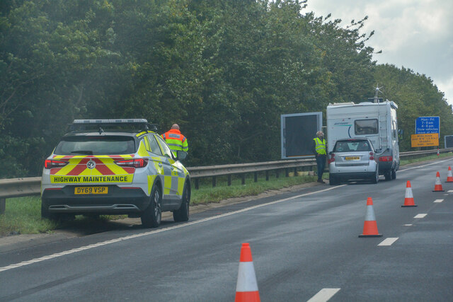
Image: © Lewis Clarke Taken: 25 Sep 2020
A breakdown on the A1 caused delays.
Images are licensed for reuse under creativecommons.org/licenses/by-sa/2.0
Image Location
Latitude
55.047343
Longitude
-1.631553