Older houses, Rooley Lane, Bradford
Introduction
The photograph on this page of Older houses, Rooley Lane, Bradford by Stephen Craven as part of the Geograph project.
The Geograph project started in 2005 with the aim of publishing, organising and preserving representative images for every square kilometre of Great Britain, Ireland and the Isle of Man.

There are currently over 7.5m images from over 14,400 individuals and you can help contribute to the project by visiting https://www.geograph.org.uk
Older houses, Rooley Lane, Bradford
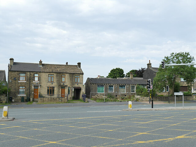
Image: © Stephen Craven Taken: 10 Aug 2020
Rooley Lane, despite the bucolic name, is now a dual-carriageway section of the Bradford ring road. These older (19th century?) houses show that the lane was originally at the north side of its present alignment and has been widened to the south.
Images are licensed for reuse under creativecommons.org/licenses/by-sa/2.0
Image Location
Latitude
53.768506
Longitude
-1.745694