
Holgate Pasture
Introduction
The photograph on this page of Holgate Pasture by Andy Waddington as part of the Geograph project.
The Geograph project started in 2005 with the aim of publishing, organising and preserving representative images for every square kilometre of Great Britain, Ireland and the Isle of Man.

There are currently over 7.5m images from over 14,400 individuals and you can help contribute to the project by visiting https://www.geograph.org.uk
Holgate Pasture
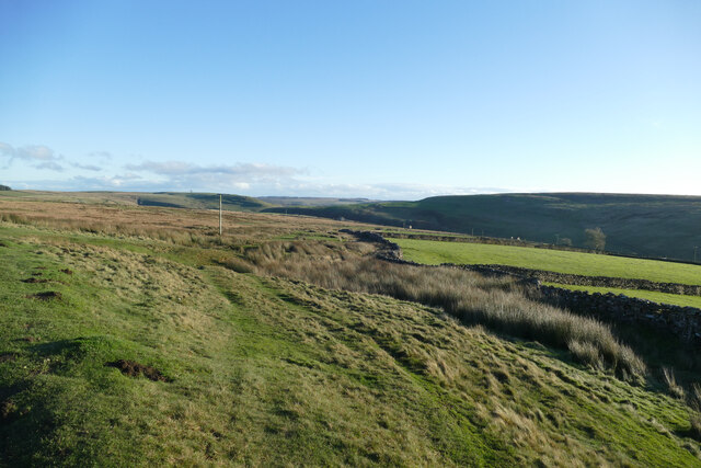
Image: © Andy Waddington Taken: 21 Nov 2020
A public footpath follows the edge of the CROW Access Land, close to the wall, but a track is shown on the map, and apparent on the ground, which finds a more sinuous course, avoiding the worst of the boggy bits, and makes a more convenient pedestrian route, too. The wall marks the boundary between the open access land of Holgate Moor and the intake land on southwest-facing slopes above Holgate Beck, surrounding Lummas House.
Images are licensed for reuse under creativecommons.org/licenses/by-sa/2.0
Image Location

Latitude
54.428495
Longitude
-1.887599