Black Bank near Everton Carr Farm
Introduction
The photograph on this page of Black Bank near Everton Carr Farm by Neil Theasby as part of the Geograph project.
The Geograph project started in 2005 with the aim of publishing, organising and preserving representative images for every square kilometre of Great Britain, Ireland and the Isle of Man.

There are currently over 7.5m images from over 14,400 individuals and you can help contribute to the project by visiting https://www.geograph.org.uk
Black Bank near Everton Carr Farm
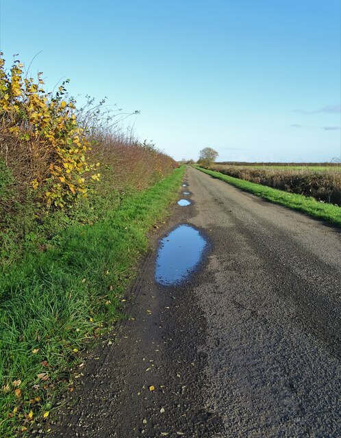
Image: © Neil Theasby Taken: 19 Nov 2020
Black Bank heads in a north easterly direction before turning sharply south west and following a straight line to Roe Lane in this pancake flat landscape.
Images are licensed for reuse under creativecommons.org/licenses/by-sa/2.0
Image Location
Latitude
53.437235
Longitude
-0.957381