Converted Steading
Introduction
The photograph on this page of Converted Steading by Anne Burgess as part of the Geograph project.
The Geograph project started in 2005 with the aim of publishing, organising and preserving representative images for every square kilometre of Great Britain, Ireland and the Isle of Man.

There are currently over 7.5m images from over 14,400 individuals and you can help contribute to the project by visiting https://www.geograph.org.uk
Converted Steading
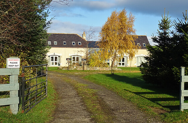
Image: © Anne Burgess Taken: 16 Nov 2020
The second eidion of the six-inch Ordnance Survey map shows this as two buildings, but neither appears on the first edition, so they must have been built in the latter part of the 19th century. They have been linked to form a house.
Images are licensed for reuse under creativecommons.org/licenses/by-sa/2.0
Image Location
Latitude
57.654223
Longitude
-3.483141