Farmland near Alves
Introduction
The photograph on this page of Farmland near Alves by Anne Burgess as part of the Geograph project.
The Geograph project started in 2005 with the aim of publishing, organising and preserving representative images for every square kilometre of Great Britain, Ireland and the Isle of Man.

There are currently over 7.5m images from over 14,400 individuals and you can help contribute to the project by visiting https://www.geograph.org.uk
Farmland near Alves
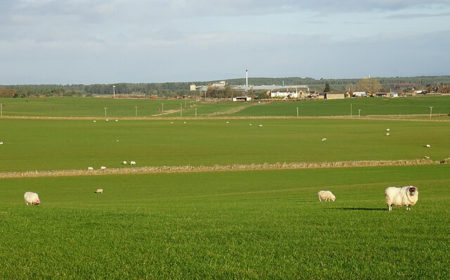
Image: © Anne Burgess Taken: 16 Nov 2020
Sheep on winter pasture. The chimney belongs to the Roseisle maltings and distillery complex, and on the horizon is the Burghead maltings.
Images are licensed for reuse under creativecommons.org/licenses/by-sa/2.0
Image Location
Latitude
57.647122
Longitude
-3.4604