Bicester Road west of Marsh Gibbon
Introduction
The photograph on this page of Bicester Road west of Marsh Gibbon by David Howard as part of the Geograph project.
The Geograph project started in 2005 with the aim of publishing, organising and preserving representative images for every square kilometre of Great Britain, Ireland and the Isle of Man.

There are currently over 7.5m images from over 14,400 individuals and you can help contribute to the project by visiting https://www.geograph.org.uk
Bicester Road west of Marsh Gibbon
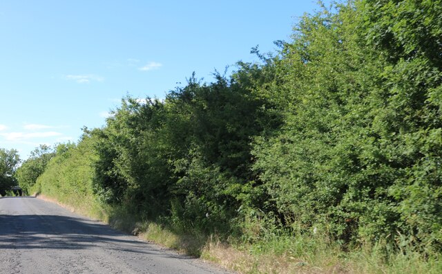
Image: © David Howard Taken: 13 Jun 2020
You can just see the railway line on the left. Unfortunately it has not been used for a very long time.
Images are licensed for reuse under creativecommons.org/licenses/by-sa/2.0
Image Location
Latitude
51.908848
Longitude
-1.088936