Quarry Cottages near Burradon
Introduction
The photograph on this page of Quarry Cottages near Burradon by Geoff Holland as part of the Geograph project.
The Geograph project started in 2005 with the aim of publishing, organising and preserving representative images for every square kilometre of Great Britain, Ireland and the Isle of Man.

There are currently over 7.5m images from over 14,400 individuals and you can help contribute to the project by visiting https://www.geograph.org.uk
Quarry Cottages near Burradon
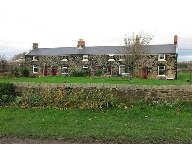
Image: © Geoff Holland Taken: 17 Nov 2020
When the first Ordnance Survey Six-Inch map of the area was published in 1864 these cottages did not exist, although by the time of the second edition of the map in 1898, they had been built. At that time they were named as Quarry House and no doubt provided accommodation for workers at the adjoining quarry. For a selection of detailed free to download walking routes in the area visit www.northtynesidewalks.co.uk
Images are licensed for reuse under creativecommons.org/licenses/by-sa/2.0
Image Location
Latitude
55.050301
Longitude
-1.574083