Far Street, Bradmore
Introduction
The photograph on this page of Far Street, Bradmore by Kate Jewell as part of the Geograph project.
The Geograph project started in 2005 with the aim of publishing, organising and preserving representative images for every square kilometre of Great Britain, Ireland and the Isle of Man.

There are currently over 7.5m images from over 14,400 individuals and you can help contribute to the project by visiting https://www.geograph.org.uk
Far Street, Bradmore
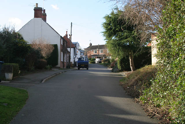
Image: © Kate Jewell Taken: 24 Jan 2008
Far Street runs parallel to Main Street and originally consisted mainly of labourers' cottages. The village pump is also on this street.
Images are licensed for reuse under creativecommons.org/licenses/by-sa/2.0
Image Location


Leaflet Map data © OpenStreetMap
Latitude
52.874763
Longitude
-1.135544