Pond, Burradon
Introduction
The photograph on this page of Pond, Burradon by Geoff Holland as part of the Geograph project.
The Geograph project started in 2005 with the aim of publishing, organising and preserving representative images for every square kilometre of Great Britain, Ireland and the Isle of Man.

There are currently over 7.5m images from over 14,400 individuals and you can help contribute to the project by visiting https://www.geograph.org.uk
Pond, Burradon
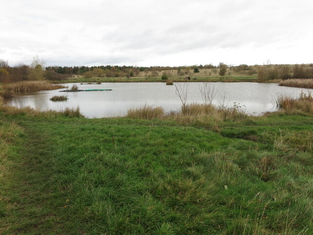
Image: © Geoff Holland Taken: 17 Nov 2020
This pond lies on an area of land once occupied by Burradon Colliery. The colliery was sunk in the 1820s along with a waggonway running from the colliery to Killingworth Colliery to the south. From there the coal from Burradon Colliery continued its journey along waggonways to the River Tyne. On the 2nd March 1860, an explosion at Burradon Colliery killed 76 men and boys and the disaster took on national significance at a time when mining safety was poor and the families of disaster victims had to rely on charity. The colliery eventually closed on the 22nd November 1975. For a selection of detailed free to download walking routes in the area visit www.northtynesidewalks.co.uk
Images are licensed for reuse under creativecommons.org/licenses/by-sa/2.0
Image Location
Latitude
55.044636
Longitude
-1.572891