Public Bridleway near Burradon
Introduction
The photograph on this page of Public Bridleway near Burradon by Geoff Holland as part of the Geograph project.
The Geograph project started in 2005 with the aim of publishing, organising and preserving representative images for every square kilometre of Great Britain, Ireland and the Isle of Man.

There are currently over 7.5m images from over 14,400 individuals and you can help contribute to the project by visiting https://www.geograph.org.uk
Public Bridleway near Burradon
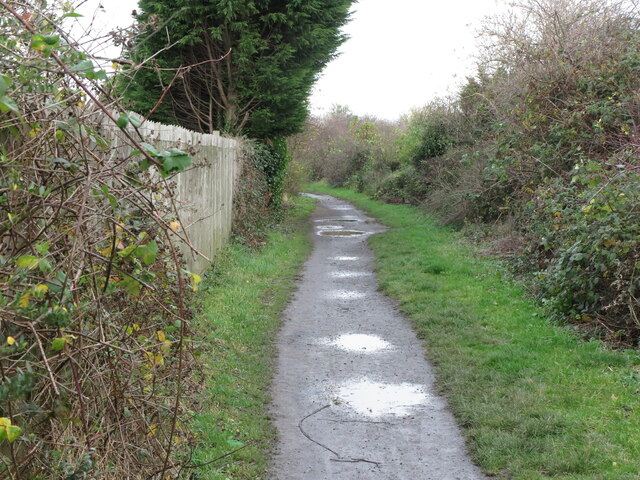
Image: © Geoff Holland Taken: 17 Nov 2020
This public bridleway links the urban sprawl of Killingworth New Town with a plethora of footpaths and tracks. This bridleway follows the course of an old mineral railway which linked Burradon Colliery to the immediate north with Killingworth Colliery to the south. For a selection of detailed free to download walking routes in the area visit www.northtynesidewalks.co.uk
Images are licensed for reuse under creativecommons.org/licenses/by-sa/2.0
Image Location
Latitude
55.041675
Longitude
-1.574174