"Stone", Bisley Rd, Bisley
Introduction
The photograph on this page of "Stone", Bisley Rd, Bisley by Mr Red as part of the Geograph project.
The Geograph project started in 2005 with the aim of publishing, organising and preserving representative images for every square kilometre of Great Britain, Ireland and the Isle of Man.

There are currently over 7.5m images from over 14,400 individuals and you can help contribute to the project by visiting https://www.geograph.org.uk
"Stone", Bisley Rd, Bisley
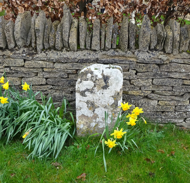
Image: © Mr Red Taken: 18 Mar 2019
In front of the boundary wall to modern houses. At ½ mile from Bisley on the ancient route from Cirencester to Gloucester, this might have served as a way marker at some stage. It is mid point 'twixt http://www.geograph.org.uk/photo/6098094 (Bisley) & https://www.geograph.org.uk/photo/6072984 (Catswood Lane) and 1 mile from the "stone" in Limekiln Lane - http://www.geograph.org.uk/photo/6668880 . Milestone Society National ID: GL_CIBI10
Images are licensed for reuse under creativecommons.org/licenses/by-sa/2.0
Image Location
Latitude
51.757097
Longitude
-2.14599