Farmland south of Crossways Farm
Introduction
The photograph on this page of Farmland south of Crossways Farm by Christine Johnstone as part of the Geograph project.
The Geograph project started in 2005 with the aim of publishing, organising and preserving representative images for every square kilometre of Great Britain, Ireland and the Isle of Man.

There are currently over 7.5m images from over 14,400 individuals and you can help contribute to the project by visiting https://www.geograph.org.uk
Farmland south of Crossways Farm
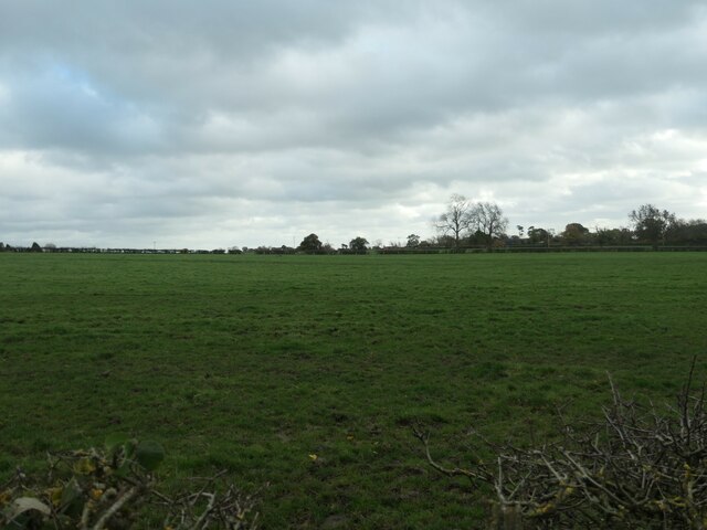
Image: © Christine Johnstone Taken: 2 Nov 2020
About 145 metres above sea level, near Upper Nobut. Midway between the valleys of the Rivers Tean and Blithe.
Images are licensed for reuse under creativecommons.org/licenses/by-sa/2.0
Image Location
Latitude
52.919516
Longitude
-1.946714