Harris Crescent, Old Kilpatrick
Introduction
The photograph on this page of Harris Crescent, Old Kilpatrick by Stephen Sweeney as part of the Geograph project.
The Geograph project started in 2005 with the aim of publishing, organising and preserving representative images for every square kilometre of Great Britain, Ireland and the Isle of Man.

There are currently over 7.5m images from over 14,400 individuals and you can help contribute to the project by visiting https://www.geograph.org.uk
Harris Crescent, Old Kilpatrick
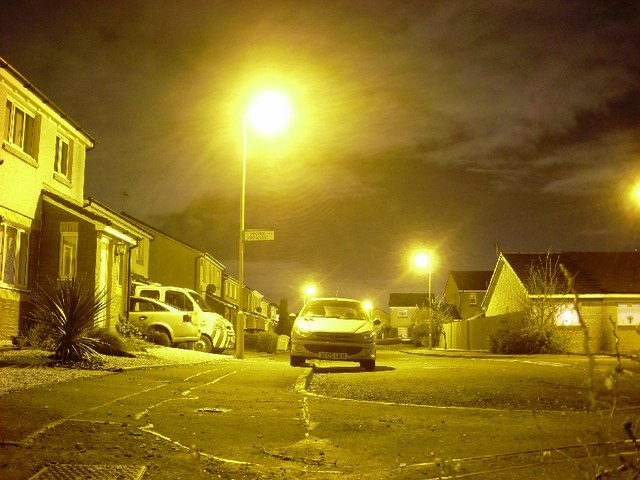
Image: © Stephen Sweeney Taken: 16 Jan 2008
The official name of this area is Antonine Park, but it is still known generally as "the new estate", despite now being around fifteen years old.
Images are licensed for reuse under creativecommons.org/licenses/by-sa/2.0
Image Location
Latitude
55.919718
Longitude
-4.450856