A sylvan corner at Trotshill
Introduction
The photograph on this page of A sylvan corner at Trotshill by Chris Allen as part of the Geograph project.
The Geograph project started in 2005 with the aim of publishing, organising and preserving representative images for every square kilometre of Great Britain, Ireland and the Isle of Man.

There are currently over 7.5m images from over 14,400 individuals and you can help contribute to the project by visiting https://www.geograph.org.uk
A sylvan corner at Trotshill
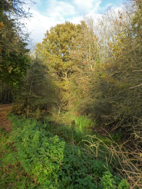
Image: © Chris Allen Taken: 12 Nov 2020
There are some green corners in and around the Warndon Villages development and the Trotshill areas is one of the surviving corners from before development.
Images are licensed for reuse under creativecommons.org/licenses/by-sa/2.0
Image Location
Latitude
52.201658
Longitude
-2.169246