The road to Askrigg
Introduction
The photograph on this page of The road to Askrigg by Gordon Hatton as part of the Geograph project.
The Geograph project started in 2005 with the aim of publishing, organising and preserving representative images for every square kilometre of Great Britain, Ireland and the Isle of Man.

There are currently over 7.5m images from over 14,400 individuals and you can help contribute to the project by visiting https://www.geograph.org.uk
The road to Askrigg
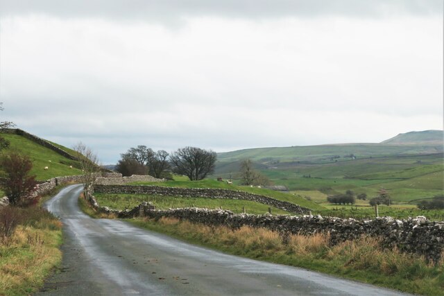
Image: © Gordon Hatton Taken: 11 Nov 2020
This is the 'back road' along Wensleydale which keeps to the north side of the river and carries much less traffic than the A684. Looking east with Addlebrough just appearing to the right of the photo.
Images are licensed for reuse under creativecommons.org/licenses/by-sa/2.0
Image Location


Leaflet Map data © OpenStreetMap
Latitude
54.310973
Longitude
-2.165039